
Carolina Thread Trail Map
The Carolina Thread Trail Map website showcases the hiking, biking, and multi-use trails in North and South Carolina.


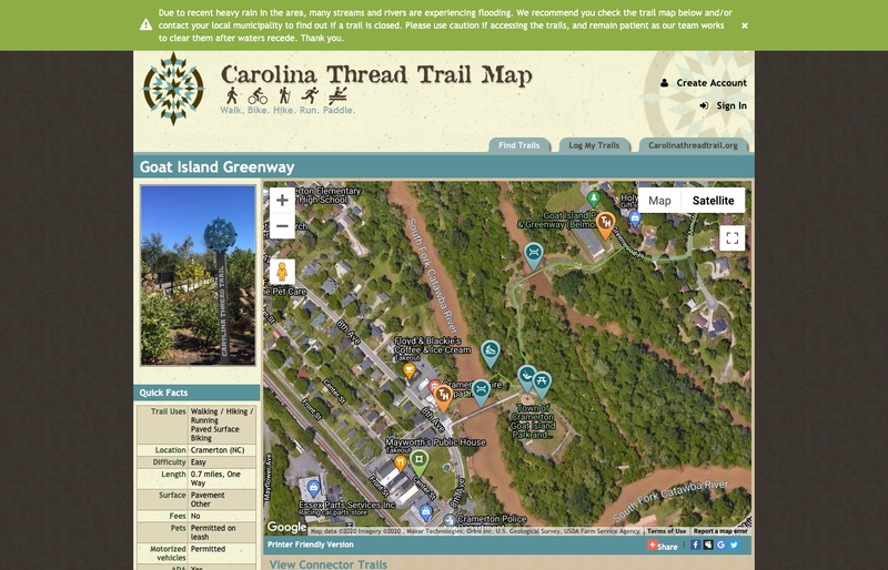
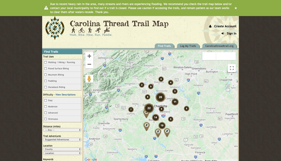
The Carolina Thread Trail Map is a site that utilizes Aptuitiv's "Trails" app. It was designed and built so users can view details about hiking, biking, and other trails in North and South Carolina.
What we did
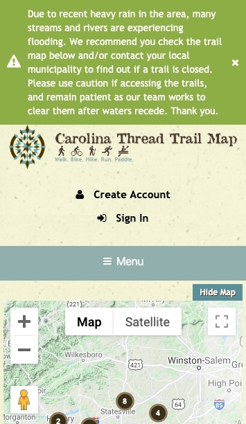
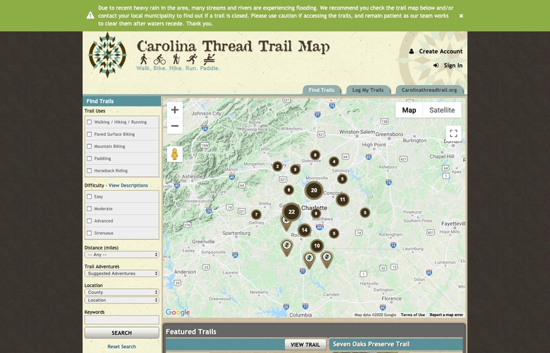
We integrated Google Maps into this site using their Javascript API, and using the "Trails" app within Aptuitiv to manage the data, we displayed all the available trails on the home page when the user viewed the site. From the home page, users are able to sort through the trail types on the site by searching for specific categories from the search form in the sidebar. A list of trails, as well as featured trails, are shown under the map.
Viewing a trail's details shows users a hybrid view of the map, i.e. the roads and terrain are visible. A highlighted line is presented to the users with markers designating rest stops, picnic areas, and other points of interest.